
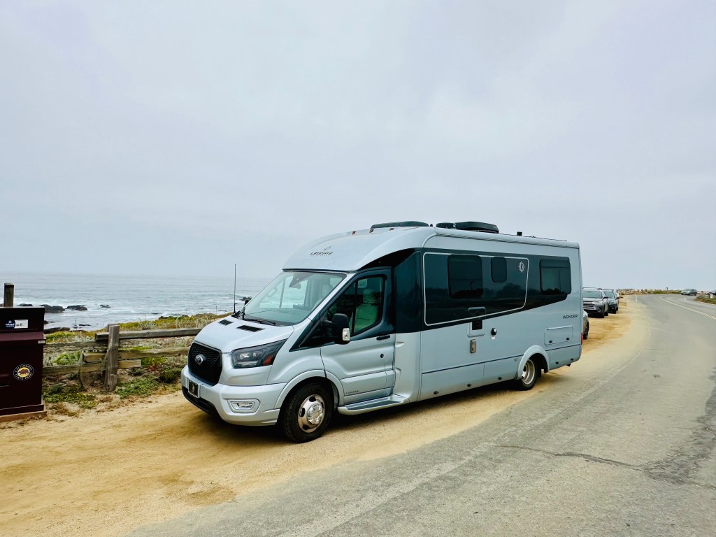
This has been my mantra for the last two months. I struck out alone for the west coast to attend my mother’s 90th birthday in my RV, Abeona (goddess of the outward journey), in May of 2024. I’m not mechanically inclined, I am skittish of heights, not a fan of enclosed places and really like a good night’s sleep. This journey would have been a lot easier by just booking a plane ticket instead of driving some 4,000 miles to celebrate my mother’s landmark birthday. But instead, I have embraced doing it scared.
Here are the things I faced doing it scared:
Rain in east Texas. As I was headed to Rusk Texas (look it up, it’s in the middle of nowhere) there were all kinds of warnings on my map apps that the roads could be flooded. It was a torrential downpour as I drove on desolate route 84 to my campground and out the next day. I saw whole fields inundated with water, rivers out of their banks but never any water across the road. I figured that the campground would have alerted me that it was underwater (and it wasn’t) but the drive was intimidating because of the unknown.
Big Bend. Big Bend National Park is in the middle of nowhere on the border between Texas and Mexico. I drove over a hundred miles without seeing a gas station from Fort Stockton down route 385 which enters the park from the north entrance. I didn’t see one car as I drove down from the north entrance to the park headquarters. This is rare for a National Park in May but when it’s 112 degrees outside and no cell coverage;it appeared to not be a popular spot in the Spring. When you are driving an RV by yourself and know there isn’t much of a safety net if you break down; you do it scared.
Boquillas Mexico. When I get nervous, my stomach twists in knots. I had a morning planned to cross the border at the edge of Big Bend NP where there is an official entry point into the United States. I knew that it was possible to take a very short row boat ride across the Rio Grande into the little town of Boquillas. I didn’t sleep well in anticipation of crossing the border and back. I was imagining something going wrong. It’s hot, dusty, no cell coverage and my Spanish was rusty. As with most uncertain things, I was looking for things to control. I texted my kids letting them know that I was crossing the border without cell coverage and that I expected to be back to cell coverage in 3 hours. The town itself, my guide and burro ride into town were a step into a whole other reality with this small-town dependent on brave Americans to take a chance on seeing another way of life. I’m glad I did it scared.
White Sands National Park. I’ve been to over 30 national parks. I had been to White Sands as a newlywed with my husband, Orlando, in the mid 80’s. I do not remember the road, about 3 miles into the dunes loop, ending into what was essentially sand dunes for some 10 miles. This mistake, in that I didn’t have all wheel drive on the RV, was something I’m glad I did in retrospect but had I known, I’m sure I would have skipped. Getting my Abeona stuck in the sand and the rattling of the dual tires in the back was unnerving. I turned around as soon as I could but I can tell you to pay more attention to park maps and advisories now.
Tehachapi Pass. This is an infamous road that skirts Los Angeles through a mountain pass. I have been over it several times in a car although I probably wasn’t driving. When driving up from the south there are over 4,500 wind turbines which, immediately alert you to the fact that “there will be wind.” On the day I came up the pass from the south there were signs alerting high profile vehicles. My campground was on top of the pass. I went anyway. Gulp. It felt like hurricane force winds, I was clenching the steering wheel and maintained a 45 mile an hour pace. I was fortunate that there weren’t may trucks and gratified to see other folks with trailers going over the pass (if they can do it, I can do it). After 4 camping days in Tehachapi, I came down the other side of the pass which is longer, steeper and full of curves (it forced me to learn how to use manual gears). I kept thinking to myself, Rick Hanson’s “Are you alright right now?” I was.
Glider Ride. When I was camped in Tehachapi, it was right next to a glider plane airport. After the first two days of watching gliders take off attached to small planes, I decided that, if I don’t do this, I’ll regret it. I had every afternoon free and why not just walk over and get in a glider. I was going to tell my daughter but she was occupied so I just went over and did it. In retrospect, I think that because I was by myself, I couldn’t be talked out of it. Perhaps someone else would have discouraged me. Maybe I thought I had survived the trip thus far, let’s go for broke. I was shocked that all you had to do was pay and that I didn’t sign 5 pages of waivers. Perhaps it was because I didn’t sign waivers, I decided it was safe. My pilot Cam was great. They wheeled the glider into position. There was nothing but manual signals between him and the pilot of the guide plane. The glider itself was airborne before the guide plane which was freaky. Did I mention that I was in the front of the glider with all the controls to fly (but didn’t). When the tow rope releases, we were gliding above the Tehachapi Valley at 6,500 feet. Outside of the wind and the conversation with Cam, it was silence. It’s incredible that this little plane, that is shorter than my RV can glide through the air without any technology and land safely on the ground. I’m glad I did it scared.
I find that, traveling alone as a woman over 50, I get a lot of folks opining on my choice. Mostly it’s from women over 50 saying “I could never do that”, “So you are alone? Driving by yourself?” I’m always flummoxed as to what to respond with. And then? Then there is Lucky Lu (her license plate). I was departing Joshua Tree and at a stop light in Yucca Valley when I hear a car honking at me. I turn to the left and see a woman beaming and giving me the thumbs up. I rolled down my window and she said” You have the toy I want! I love it! Are you by yourself?”, I answered yes, and she responds “YOU GO GIRL!” That moment? That was worth it all. There is also my co-pilot, my inspiration, my dearly departed father had wanderlust in spades and he would drive 4,000 miles just to see a view. Daddy is always riding shotgun.

